
Scale Hierarchy
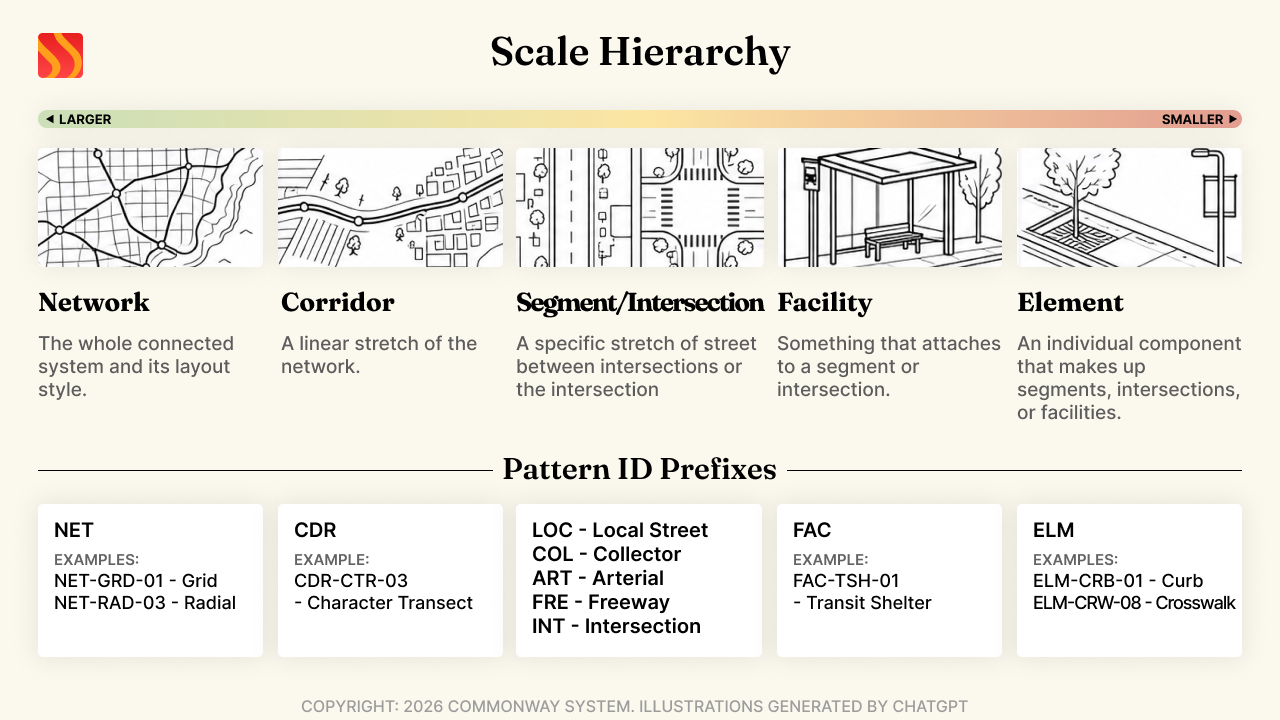
Every pattern in the Commonway System exists at one of five scales:
Network → Corridor → (Segment / Intersection) → Facility → Element
- Network. The whole connected system, or a defined sub-system within it. Patterns here are about topology and system-wide structure rather than any single physical place: a grid versus a radial street layout, how a transit network integrates with the road network, or a classification system itself. You wouldn't stand in one spot and see a Network pattern, you'd see it on a map.
- Corridor. A linear stretch of the network connecting two places, often crossing multiple contexts along the way. This is the level where "the road's character changes as it moves from farmland into town" patterns live.
- Segment or Intersection. Siblings, not nested; the network is made of segments connected by intersections. This is where most patterns in the system live: a specific stretch of street between two intersections, or the intersection itself.
- Facility. Something that attaches to a segment or intersection rather than being one: a bus shelter, a parking garage, a plaza. Internally complex enough to have its own element-level layout inside it.
- Element. The physical components a segment, intersection, or facility is built from: curbs, medians, signage, striping, signals, street trees, lighting.
A pattern's ID starts with a prefix naming its Scale: NET for Network, CDR for Corridor, FAC for Facility, ELM for Element, and one of LOC/COL/ART/FRE/INT for Segment/Intersection, the one Scale that also subdivides by Functional Classification. LOC-BBG-12, for example, is a Segment/Intersection-scale pattern, specifically a Local pattern in the back-of-block/alley context. See Pattern IDs for the full nine-prefix breakdown. Knowing where a pattern sits on this scale, alongside its classification, is what makes the rest of the Guide, and the diagnostic and process walkthrough still to come, make sense.
© 2026 Commonway System