
Pattern Index
Every pattern currently in the Commonway System, grouped by Scale: Network, Corridor, Segment/Intersection (the one Scale that further subdivides by Functional Classification), Facility, and Element. See Scale Hierarchy for what each Scale covers and how they relate.
#Network level patterns
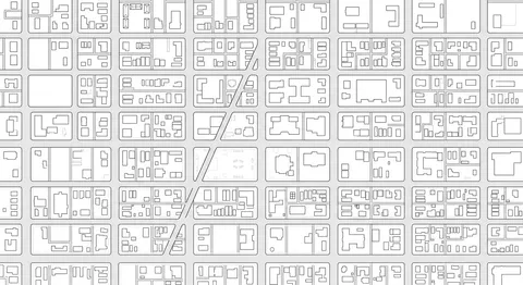
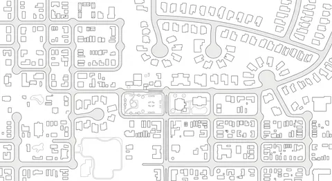
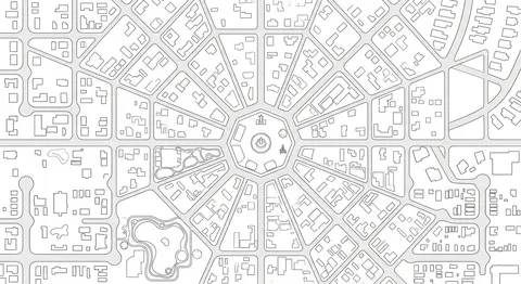
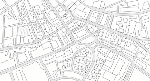
Network patterns describe the topology of a whole connected system, or a defined sub-system within it, not any single physical place. You would not stand in one spot and see a Network pattern, you would see it on a map: a grid versus a radial layout, how branching or connectivity shapes route choice across an entire area.
#Corridor level patterns
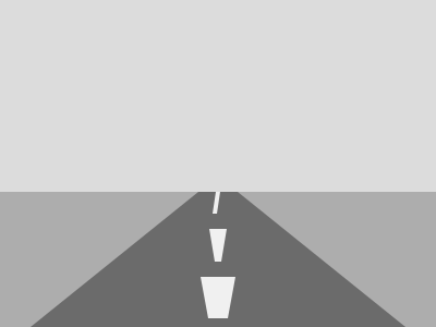
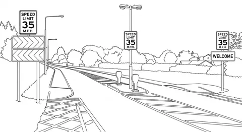
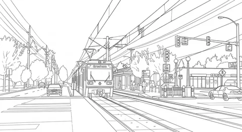
Corridor patterns describe a linear stretch of the network connecting two places, often crossing multiple contexts along the way. This is the level where transitions get designed on purpose, a road's character changing as it moves from farmland into town, or a fixed transit alignment shaping a cross-section for miles at a stretch, rather than being left to happen segment by segment with no coordination.
 1
1Density Step-Down / Step-Up
 2
2Rural-to-Town Gateway
3Character Transect
 4
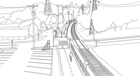
4Rail-With-Trail Corridor
 5
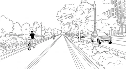
5Road-Adjacent Greenway
 6
6Transit Alignment Corridor
#Local street patterns
Local streets have many access points and short trips, so keeping speeds under 20 mph, no exceptions, matters more than moving vehicles quickly. Walking and biking come first, then transit, then vehicles and freight.
1Default (Standard Local Street)
 2
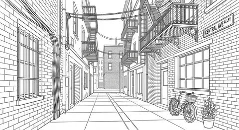
2Alley
 3
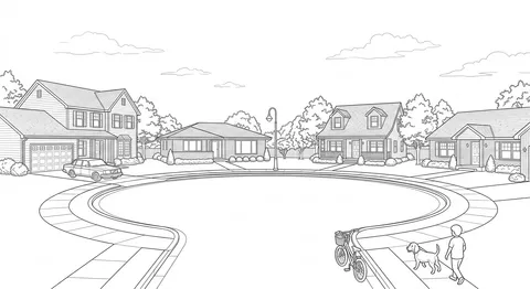
3Cul-de-sac
 4
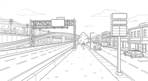
4Frontage / Service Road
 5
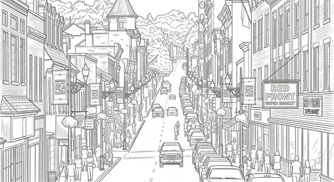
5Main Street
 6
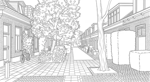
6Living Street / Woonerf
 7
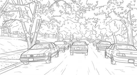
7Yield Street
 8
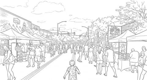
8Festival Street
 9
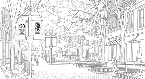
9Pedestrian-only Street / Plaza
 10
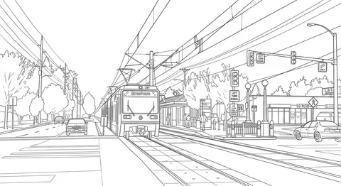
10Local Transit
 11
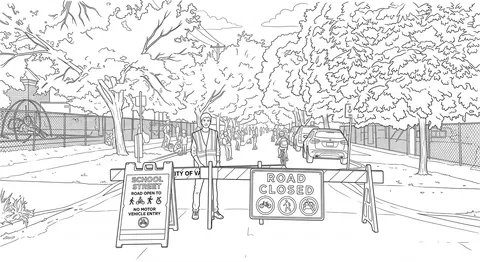
11School Street
 12
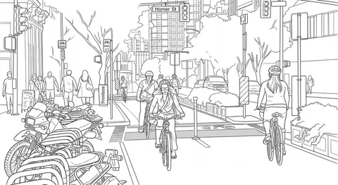
12Bicycle Boulevard / Neighborhood Greenway
 13
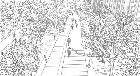
13Shared-Use Path
#Collector street patterns
Collectors link local streets to the arterial network, carrying more through traffic while still running past homes and storefronts. Speeds top out at 30 mph, 35 only behind rigid crash-protective separation, with walking, biking, and transit still taking priority.
1Default (Standard Collector)
2Rural Collector / Farm-to-Market Road
3Industrial Collector
 4
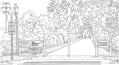
4Bike Highway / Greenway
5Collector Transit
6Multi-Use Trail / Greenway
7Downtown Thoroughfare
#Arterial street patterns
Arterials move higher volumes of through traffic over longer distances, so the core rule is separation: no on-street parking or driveway access competing with through movement. Posted speed always matches the road's actual design speed. Transit takes priority here, ahead of people walking and biking.
1Default (No Parking, No Direct Access)
2Boulevard
3Scenic Highway / Byway
4Arterial Transit (BRT/LRT)
 5
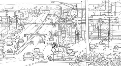
5Stroad (Commercial Arterial)
6One-Way Street
7Parkway
#Freeway patterns
Freeways sit outside the Commonway System's detailed design scope entirely. They're listed here for completeness, not because the system sets rules for them: no modal hierarchy, no speed regulation.
1Default (Freeway)
2Expressway
3Beltway / Ring Road
4Freeway-scale Transit (Commuter / Heavy Rail)
#Intersections and crossings
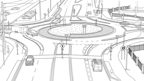
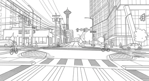
Intersections aren't tied to one Functional Classification, since any two street types can meet at a corner. The default is a roundabout wherever a Collector-or-larger street is involved, stepping up to a turbo-roundabout at busy Arterial-to-Arterial junctions. Signals are a documented last resort, and a continuous sidewalk is the default where a Local street meets a Collector.
 1
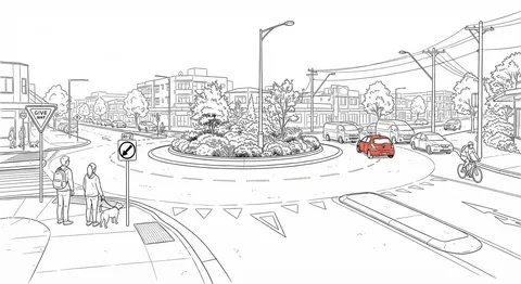
1Roundabout (Single/Multi-Lane)
 2
2Turbo-Roundabout
3Signal
4All-Way Stop
5Stop / Yield (Two-Way)
6Continuous Sidewalk / Raised Junction
7Uncontrolled
8Midblock Pedestrian Crossing
9Driveway / Curb Cut
10Grade-Separated Interchange
 11
11Protected Intersection
12Median U-Turn (MUT)
13Restricted Crossing U-Turn (RCUT)
14Displaced Left-Turn (DLT)
15Railroad Grade Crossing
#Facility level patterns
Facility patterns describe something that attaches to a segment or intersection rather than being one: a bus shelter, a parking garage, a plaza. Each is internally complex enough to have its own element-level layout inside it.
1Transit Shelter
2Transit Platform
3Transit Hub / Station
4Surface Parking Lot
5Parking Garage / Structure
6Park-and-Ride
7Plaza / Parklet
8Bike Parking Corral
9Bike-Share Station
10Secure Bike Parking / Bike Station
#Element level patterns
Element patterns describe the physical components a segment, intersection, or facility is built from: curbs, medians, signage, striping, signals, street trees, lighting. This is the most granular Scale in the system, and the level most other patterns eventually point down to.
1Curb
2Curb Extension
3Curb Ramp
4Curb Cut / Driveway Apron
5Wheel Stop
6Vertical Speed Control
7Rumble Strip
8Crosswalk
9Pedestrian Safety Island / Refuge
10Detectable Warning Surface
11Regulatory Sign
12Warning Sign
13Guide Sign
14Traffic Signal
15Pedestrian Signal
16Bicycle Signal
17RRFB
18Pedestrian Hybrid Beacon
19Bioswale
20Flow-Through Planter
21Pervious Strip
22Pervious Pavement
23Traffic Barrier
24Crash Cushion / End Terminal
25Bollard
26Street Light
27Pedestrian-scale Lighting
28Street Tree
29Tree Pit / Tree Trench
30Landscaped Buffer Strip
31Bench
32Trash / Recycling Receptacle
33Drinking Fountain
34Conventional Bike Lane
35Buffered Bike Lane
36Advisory Bike Lane
37Protected Bike Lane / Cycle Track
38Green Pavement / Conflict Marking
 39
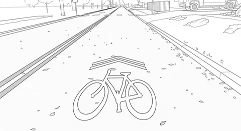
39Sharrow
40Bike Parking / Rack
41Transit Boarding Island
42Bike Box
43Two-Stage Turn Queue Box
 44
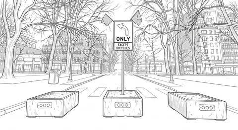
44Modal Filter / Point Closure
45Median Island
46