
Stroad (Commercial Arterial)
ART-STD-05 Stroad (Commercial Arterial)
Occurs most often at: Rural Suburban Compact
Undeveloped and Urban are edge cases. Core is an unlikely pairing.
Avoid
Stroad is an explicit Avoid pattern within the Commonway System, not a Typology to design toward. No default modal order is assigned, since the pattern itself is the anti-pattern being flagged.
#Speed and modal hierarchy
Design speed & speed limit
Modal hierarchy
#Illustration
Callouts
- (Physical) On-street parking beside through lanes.
- (Physical) No protected or signalized midblock crossing despite pedestrian-generating land use.
Instead, see: Boulevard (ART-BLV-02), Default Arterial (ART-DEF-01) + Frontage / Service Road (LOC-FSR-04)
Supplemental illustration, justified: the driveway-spacing claim below is longitudinal, and the required cross-section format above is lateral and can't show it.
Callouts
- (Physical) Direct driveway cuts every 100–200 ft.3
- (Physical) No parallel frontage/service road to aggregate access points.
Related Media
 Aligned
You've Been Lied To About Roads For 60 Years
 Global Cycling Network
Covers "junk roads," traffic-model incentives to overbuild, and the trillion-dollar cost of designing roads around growth projections that the roads themselves inflate.
 Aligned
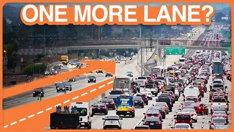
More Lanes Are (Still) A Bad Thing
 Not Just Bikes
Lays out induced demand, Braess's Paradox, and traffic evaporation with real case studies (LA 405, Houston Katy Freeway, Cheonggyecheon), then shows the Dutch one-lane-plus-transit cross-section as the actual fix.
 Aligned
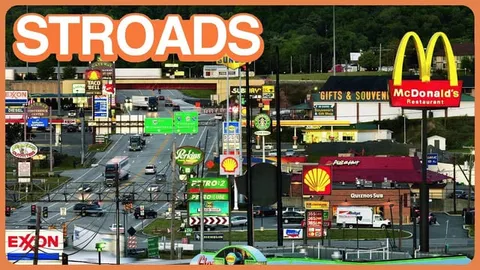
Stroads are Ugly, Expensive, and Dangerous
Not Just BikesThe definitive explainer on stroads, and lays out the Dutch three-tier road/street classification system that CS's own Functional Classification structure closely mirrors.
#Design notes
The density figures above track how often this pattern actually occurs in the built environment, not whether it should. It is most common from Rural through Compact density, matching the typical state-highway-turned-suburban-corridor problem: a road built for through movement that gradually accumulates driveways and curb cuts as adjacent land develops.
Every direct driveway or curb cut along the corridor is a conflict point undermining both through-traffic flow and safety: access-point density correlates directly with crash rate, with high-density segments running roughly three times the crash rate of well-managed comparison segments.3
This page exists to help readers identify a Stroad and replace it, with Boulevard where a pedestrian-first frontage fits the corridor, or with Default Arterial paired with a separate Local or Frontage/Service Road where it does not.
#Related patterns
Boulevard (ART-BLV-02), Default (No Parking, No Direct Access) (ART-DEF-01), Frontage / Service Road (LOC-FSR-04)
#References
- Precedent-based Marohn, C., "What's a STROAD and Why Does It Matter?", Strong Towns.(opens in new tab)
- Legal / regulatory American Association of State Highway and Transportation Officials, A Policy on Geometric Design of Highways and Streets ("Green Book").(opens in new tab)
- Evidence-based Gluck, J., Levinson, H.S., and Stover, V., Impacts of Access Management Techniques, NCHRP Report 420, Transportation Research Board, 1999. Crash rates rise consistently with access-point density; high-density segments show crash rates approximately 3x well-managed comparison segments.(opens in new tab)